-

-
")
Hoberg (2218m)
-
")
| xxMap |
Iffigsee (2065m) |
Mapxx |
-
")
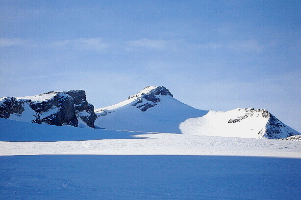
Seeschnide (2647m)
-
")
Iffighorn (2378m)
-
")
| xxMap |
Wildhorn hut SAC (2303m) |
Mapxx |
-
-

Look from Tungel glacier
-
-

On the Glacier des Audannes
-
, Simplon Breithorn (3438m), Hübschhorn (3192m)")
Monte Leone (3553m), Simplon Breithorn (3438m), Hübschhorn (3192m)
-

| xxMap |
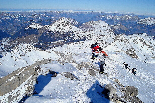
The last steps from the ascent |
Mapxx |
-
")
| xxMap |
Summit of Wildhorn (3248m) |
Mapxx |
-
-
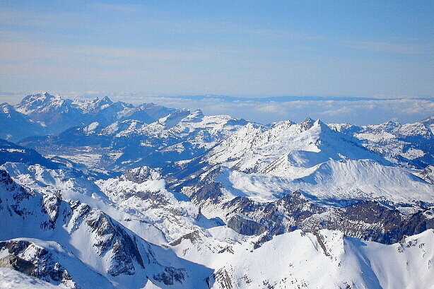
, Geisshorn (3740m), Bietschhorn (3934m)")
Aletschhorn (4193m), Geisshorn (3740m), Bietschhorn (3934m)
-

Valais Alps
-
-

Valais Alps
-
")
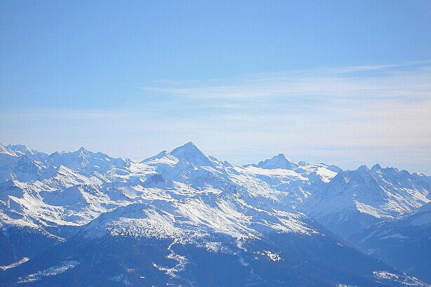
Mont Blanc (4802m)
-

Lohner, Wetterhorn, Eiger, Jungfrau, Wildstrubel, Gross Grünhorn
-
, Wiriehorn (2304m), Albristhorn (2762m)")
Albristhubel (2124m), Wiriehorn (2304m), Albristhorn (2762m)
-
")
Gantrisch Range, Stockhorn (2190m)
-
 in the foreground")
Hahnenschritthorn (2834m) in the foreground
-
-
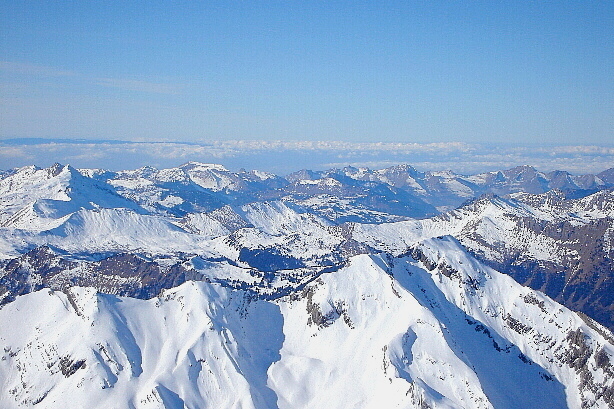
-

Vanil Carré, Pointe de Paray, Vanil Noir, Dent de Folliéran, Dent de Brenleire
-
-
, Arpelistock (3035m), Gstellihorn (2818m)")
Sommet des Diablerets (3210m), Arpelistock (3035m), Gstellihorn (2818m)
-
-

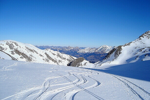
The downhill
-

Germannrippe
-

Ascent to Iffighorn
-
")
| xxMap |
Summit of Iffighorn (2378m) |
Mapxx |
-
, Gummfluh (2458m)")
Rochers de Clè (2350m), Gummfluh (2458m)
-

Vanil Carré, Pointe de Paray, Vanil Noir, Dent de Folliéran, Dent de Brenleire
-
 in the foreground")
Wistätthorn (2362m) in the foreground
-
, Diemtigtaler Rothorn (2410m) and Albristhubel (2124m)")
Spillgerten (2476m), Diemtigtaler Rothorn (2410m) and Albristhubel (2124m)
-
, Albristhorn (2762m) and Seewlehorn (2467m)")
Albristhubel (2124m), Albristhorn (2762m) and Seewlehorn (2467m)
-

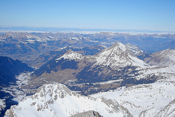
Lohner, Eiger, Mönch, Blümlisalp, Doldenhorn, Ammertenhorn
-
")
Wildstrubel (3244m)
-
, Rohrbachstein (2950m)")
Tachaine (2686m), Rohrbachstein (2950m)
-
")
Schnidehorn (2937m)
-
")
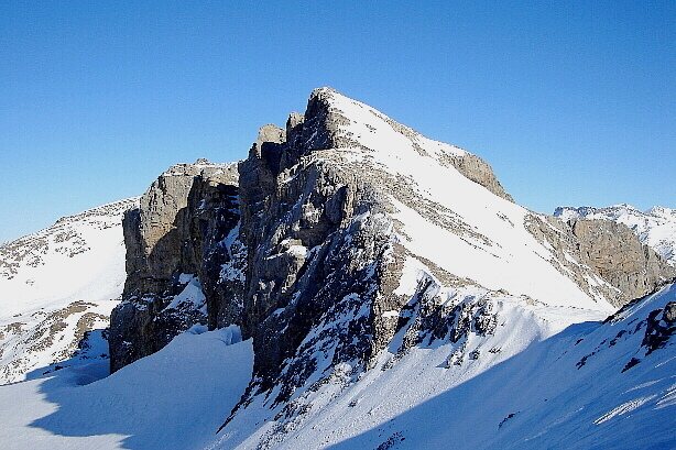
Iffighorn (2378m)
-
 in the center of the photo")
Bütschifluh / Rotstock (2637m) in the center of the photo
-
")
Tachaine (2686m)